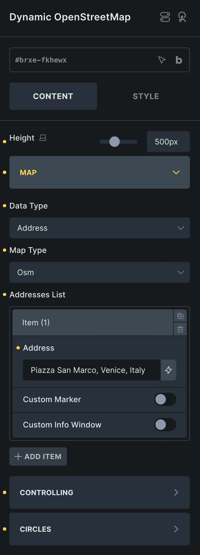
Dynamic OpenStreetMap offers powerful and flexible mapping capabilities with extensive customization options. Plot multiple markers using either addresses or latitude/longitude coordinates, and enhance your maps with features like marker clustering, custom icons, and interactive info windows. Improve usability with zoom controls, draggable views, map layers, and optional scale indicators. You can also visualize spatial data using adjustable radius circles. Perfect for business directories, event maps, store locators, and any use case that demands an engaging, data-driven geospatial display in Bricks.